
Section 4.1
Conclusions
Conclusions that can be drawn from this project.
Conclusions
The wildlife camera monitoring project provided McMurray Métis community members the opportunity to collaborate with InnoTech Alberta and the Alberta Biodiversity Monitoring Institute in a cross cultural project using both western science and Indigenous knowledge research methodologies to investigate the impacts of oil sands development on traplines held by community members and more broadly through Métis Harvesting Area B.
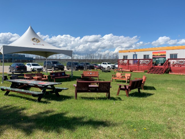
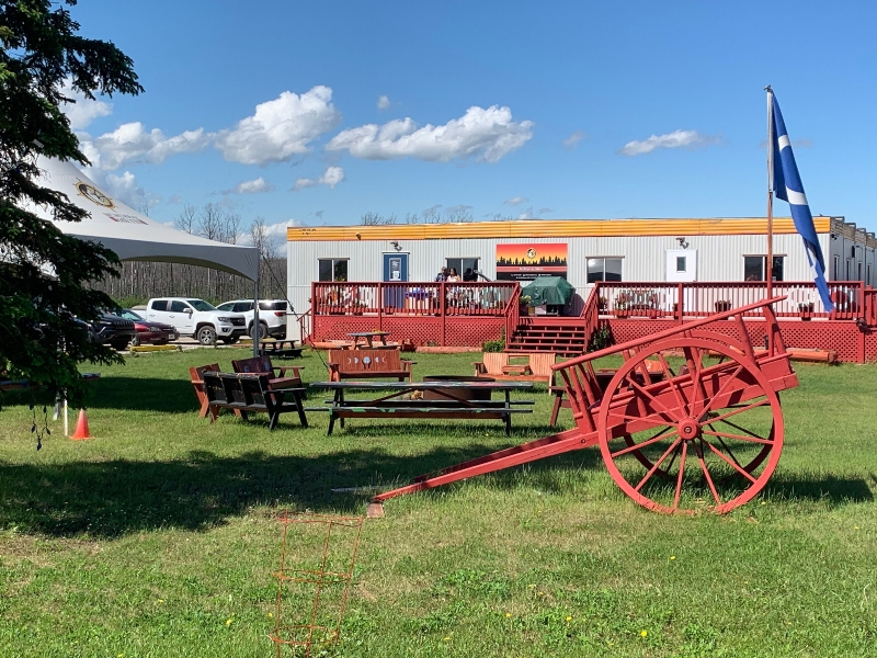
Photo: McMurray Métis office.
Conclusions
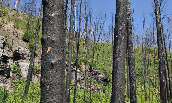
Burned forest near Fort McMurray. Photo: Emily Chow
The camera data showed similar trends for White-tailed Deer and Black Bear as seen in the scientific literature. The mapping for Métis Harvesting Area B showed the change in McMurray Métis Territory over the past 70 years, and corroborated much of what members of the community have been describing for years.
Wildfires in the McMurray Métis Territory appear to be increasing in frequency and have in recent years affected large areas of the three traplines studied in the project.
Community members had the opportunity to learn how to deploy wildlife cameras, and to upload the data and use WildTrax for viewing the images. Youth participated in the image tagging and supported the trappers in the field to deploy, service and maintain the cameras.
In the interviews conducted to support the project, McMurray Métis members communicated the importance of community-based monitoring and collaboration with our partners in contributing to the long-term sustainability of the environment and animals, supporting their ability to continue to trap and engage in traditional practices on the traplines.
Conclusions
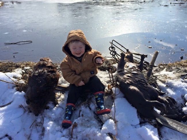
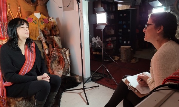
Photo: Cindy Punko
The results of this project provide McMurray Métis with data to understand the current condition of the Métis Harvesting Area B and three community members’ traplines. The spatial analysis for Métis Harvesting Area B provides some information about past conditions to support McMurray Métis’ understanding of cumulative effects in the Traditional Territory.