Section 2.1
Métis Harvesting Area B
Description of the region and its importance.
Description
McMurray Métis have a historic and contemporary connection to the lands surrounding Fort McMurray. This is clearly shown in the traditional harvesting on family traplines, which have surrounded the community for over a century. The traditional territory of the McMurray Métis is located within the Government of Alberta’s Harvesting Area B, as described in the Métis Harvesting in Alberta Policy (Government of Alberta 2018). Within this Harvesting Area, Métis people have the Aboriginal right to hunt, trap, and harvest food, as described in Section 35 of the Constitution Act (1982).
We [my father and I] would go out hunting and trapping, down all the way around Lake Athabasca I've travelled. I've travelled down the river here all the way to Uranium City by boat. So, we've spent quite a bit of our growing up life out on the lake. We always had fish, my dad would set nets. We would smoke and dry fish, and that was one of the staples for the winter, and even in the winter we'd go out and set nets...
Bill Loutitt
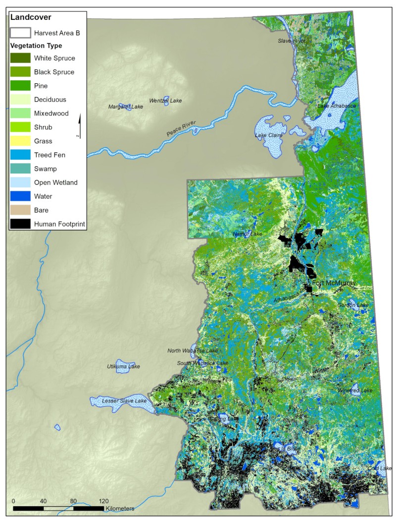
Harvesting Area B (see map below) covers around one fifth of Alberta by land area, or 126,436 km2. From Muriel Lake in the South to Wood Buffalo National Park in the north, it extends approximately 250 km west from the Alberta-Saskatchewan border. There is also a “panhandle” area to the east of Wood Buffalo National Park, stretching from the Slave River to the northwest corner of the province. Fort McMurray is centrally located within this area.
-2.jpg)
Ground Surface Cover
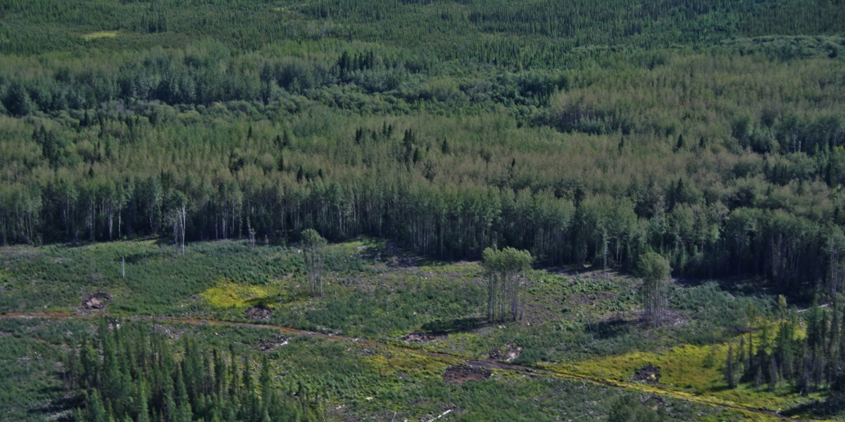
Landcover
Landcover refers to ground surface cover, including vegetation, bare ground, and human footprint. Because culturally important species use the land differently depending on available habitats, mapping types of land cover is important for managing resources and planning monitoring activities in the region.
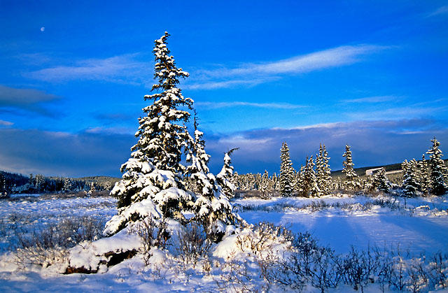
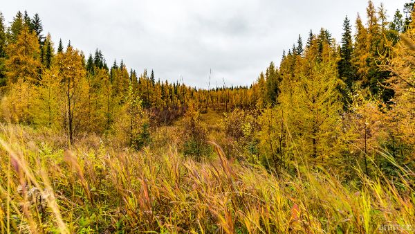
The lands contained within Harvesting Area B are, broadly speaking, boreal forest, with a high water table resulting in extensive wetland complexes characterized by peat moss soils. McMurray Métis traditional knowledge holders typically refer to peatlands and associated wetlands as muskeg, while western science categorizes them as fens, bogs, or swamps. Upland areas in this muskeg system are forested, with the canopy dominated by pine, spruce, fir, and, to a lesser extent, deciduous tree cover.
There is a large region of continuous pine forest in Harvesting Area B to the south of Lake Athabasca. This muskeg-forest ecosystem is where traditional food and medicine plants have been harvested for generations, and is characteristic of the McMurray Métis Traditional Territory.
Waterways
Waterways are an important component of this land, both ecologically and culturally. Fort McMurray sits at the junction of the Clearwater, Athabasca, Horse, and Hangingstone Rivers. The Athabasca and Clearwater rivers are especially important as access corridors to McMurray Métis Territory.
Many Métis traplines in this area stretch east or west from the Athabasca River. Regional fur-bearing animals, as well as commonly hunted mammals, rely on waterways for their life habits. Traditionally harvested freshwater clams also live in the rivers’ sand and silt bars.
Further north, the Peace-Athabasca delta is a globally important migratory bird habitat, home to waterfowl which are traditionally hunted. Lake Athabasca has large fish populations of trout, pike, walleye and perch, which are traditionally fished. The Athabasca River, the Slave River, and Lake Athabasca form a continuously navigable waterway, enabling transportation to surrounding lands and communities by boat. Even while frozen, these water bodies provide transport on foot, sled, snowmobile, or serve as ice roads.
| Cover | Area % |
|---|---|
| White Spruce | 4.6 |
| Black Spruce | 17.7 |
| Pine | 11.9 |
| Deciduous | 13.8 |
| Mixedwood | 4.9 |
| Shrub | 0.9 |
| Grass | 0.4 |
| Treed Fen | 17.5 |
| Swamp | 5.3 |
| Open Wetland | 3.0 |
| Water | 7.2 |
| Bare | 0.9 |
| Human Footprint | 12.1 |
References
Government of Alberta, Ministry of Wildlife and Parks, Fish and Wildlife Policy. 2019. Métis Harvesting in Alberta Policy (2018). Edmonton, AB. https://open.alberta.ca/publications/metis-harvesting-in-alberta-policy-2018. (Last accessed 31 March 2021).
Rights of the Aboriginal Peoples of Canada. s 35, Part 2 of the Constitution Act, 1982, being Schedule B to the Canada Act 1982 (UK), C 11.